 Oh we like this!
Seeing as we’re nowhere near New York right now, it’s of absolutely no practical use to us whatsoever, but – hey! – that’s no reason to stop us wasting precious time playing about with this brilliant implementation of Google Maps.
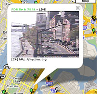 NYSee – a Web project by developers alkemis – uses Google’s mapping system to provide up to date traffic news and display traffic cam feeds from in and around Manhattan.
The information is presented via the familiar system of different coloured pins stuck on the map, and clicking on a green pin will bring up a live video feed for the traffic cam at that particular location – great fun!
 The locations of the cams can be viewed via the Google maps interface as a map, satellite view or hybrid.
Live cams that aren’t working are – appropriately enough – shown as black pins while gray pins seemed to indicate cams on the blink.
The NYSee map also offers regularly updated traffic news (sourced from Google rivals traffic.yahoo.com) displayed as yellow pins on the map.
If clicking on Web cams in foreign countries doesn’t take your fancy, you can always waste away a few more idle minutes calculating national and international areas using the Google Planimeter.
 Google Sightseeing, another Google maps-based site, asks, “why bother seeing the world for real?”, inviting surfers to visit the “best tourist spots in the world via satellite images from Google Maps & Google Earth.”
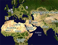
ViaVirtualEarth uses the MSN map interface to graphically show the location of MSNBC news stories on a world map, while ChicagoCrime lets surfers view the locations of specific crimes from the database of crimes reported in Chicago.
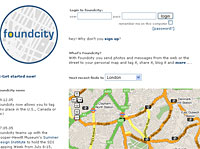
 Finally, we took a shine to Found City, a community-generated map of interesting places in New York City, with growing resources for Brooklyn, San Francisco, LA, London, Boston, Chicago and Portland.